
Cities: Skylines






移动它 这个模组允许选择、移动和对齐各种物体。 交通管理器:总统版(稳定版) 改善车道和停车空间的利用率。调整交叉路口、道路和铁轨!这是经过测试的稳定版本,功能可靠。这个模组几乎是所有人的必备! 高级景观工具 允许在游戏中放置自然资源,还提供可配置的树木画笔和铅笔工具、地形改造工具以及水域工具。 路网扩展2 就是更多的道路。还添加了完整的隧道(通常车辆会驶入地下)。道具与树木无拘无束 启用此模组后,你可以将道具和树木放置在: - 水下 - 道路上 - 建筑范围内 路口标线工具 该模组可快速在交叉路口创建道路标线。 若要确定车辆应在哪个车道行驶,建议使用模组:TM:PE 11.8.0.0 STABLE(交通管理器:总统版) 地表绘制器 你是否厌倦了公园面板中没完没了的填充资源列表以及令人疲惫的建筑数量限制?如果是这样,这个模组就适合你! 大型水泵站 大型水泵站: 为你的市民提供大量用水的理想解决方案。数据统计: 占地面积:8x6 成本:17500 维护费用:560/周 抽水效率:384000/周 能源消耗:960千瓦 噪音污染:50 噪音范围:110 Find It! 2 该模组允许搜索、筛选、选择和放置资源。还包含通常在原版游戏中无法获取的额外信息。 回收中心 缓慢筛选并逐步清除垃圾。噪音很大,效率不高,但完全清洁! 数据统计: 占地面积:8x4 成本:45000 维护费用:960/周 大型回收中心 这个更大的回收设施能够应对甚至是需求最高的城市,随着时间的推移筛选和清除垃圾。噪音大且成本高,但完全清洁!统计数据: 足迹:16x8 成本:100000 维护费用:1920/周 网络无政府状态 该模组在建造网络(道路、海滨等)时添加额外选项,并在整个游戏中实现无政府状态,允许打破布局规则。 Achieve It! 此模组允许在使用模组游玩时获取成就。 推荐 隐藏TMPE人行横道 该模组是TMPE的附加组件,当TMPE禁用人行横道时会自动删除人行横道。 结束 所有模组均在Steam创意工坊。问题请在评论区提出。未来会有更多模组。若遇到寻找模组的问题,请在评论区留言。





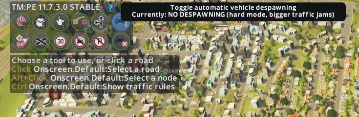
本指南列出了精选的模组,简要说明了它们的功能以及你需要它们的原因。旨在为追求流畅游戏体验的玩家提供一个良好的起点。所有模组均与《城市:天际线》的【降雪】DLC兼容。 简介 本指南旨在为你的《城市:天际线》模组体验提供一个轻松的入门途径。在我400小时的游戏时长中,我在创意工坊上进行了大量搜索,以找到那些能解决《城市:天际线》中一些小而烦人的问题的模组,让游戏更接近完美。我会努力根据导致模组失效的游戏更新来更新本指南。截至2016年2月20日,列表中的所有模组均与【降雪】更新兼容。 基础模组 以下是一些提升游戏体验的小型模组,你应该获取它们,因为它们在某些时候能为你省去不少麻烦。此外,我认为这些对大多数电脑的性能不会产生明显影响。 25格地块 每张地图都有25个地块,但原版游戏仅允许解锁9个。这款模组会将所有剩余地块添加到最终里程碑中,这样你就能购买全部地块了。 注:还有一个81格地块模组,我最初编写指南时并不知道它。它的功能与25格地块模组基本类似。 自动拆除 如果你的城市出现问题,你可能会花大量时间拆除因某些原因废弃或烧毁的建筑。这款模组可以帮你自动完成这项工作。你可以在游戏的拆除菜单中轻松切换是否自动拆除废弃建筑或损毁建筑。然后你需要我上面列出的【服务车辆选择器】模组,之后选择改装后的灵车作为唯一生成的灵车。注意,此选择并非对所有类似设施都全局生效。 火葬场 当你改装了灵车后,会发现火葬场不会派出所有灵车。这是因为它们受到火葬场可储存尸体数量的限制。将存储容量设置为灵车数量乘以灵车容量。标准的焚烧速率值是合适的,你几乎不会看到火葬场储存大量尸体。我还大幅降低了维护成本,因为火葬场的成本比例如诊所高得多是没有道理的。焚化厂 焚化厂的成本与其提供的效益相比实在过高。很难想象现实中的城市会将预算的足足三分之一用于焚烧垃圾,但如果不对这个设施进行修改,你的城市很可能就会面临这种情况。降低其维护成本,或者大幅提高处理容量,这两种方法应该都能解决问题。不过要记住,如果你提高了处理容量,就要相应增加垃圾车的数量。持久化资源视图 当你建造专业化工业区时,可能需要划定一个覆盖自然资源的区域。但问题在于,使用区域绘制工具时无法看到自然资源分布。此模组增强了资源视图的持久性,让你在绘制区域和道路时都能看到资源分布。 切换区域吸附功能 游戏中有个烦人的特性:绘制区域时鼠标会自动吸附到道路中心。如果你有轻微的强迫症,在尝试创建被道路分隔的区域时可能会抓狂。使用此模组后,绘制区域时按住左Alt键即可禁用吸附功能。 无海鸥 游戏会在公园上空生成海鸥。海鸥对游戏玩法没有影响,但会被算作市民实例。游戏中市民实例的数量有硬编码限制。此外,反正谁会喜欢海鸥呢? 云层与雾气切换器 随着《夜生活》更新,工业区新增了一种相当烦人的“烟雾”效果。这款模组可以让你移除该效果,还能移除云层及其他类似效果。若要选择禁用哪些雾气效果,请从主菜单进入选项设置。 市民入住年龄随机化 寿命修改器 这两款模组旨在解决同一个问题——死亡潮。通过略微分散市民的年龄以及他们的死亡年龄,可以降低市民同时死亡的可能性,而这在本游戏中是一个非常严重的问题。请注意,寿命修改器默认使用游戏标准设置,你需要从主菜单的选项中进行更改。我使用的设置名为【更多随机年龄】,因为我觉得这个设置最合理。 简单实用的工具 这些模组提供了更多可能性。它们添加了一些本应存在的简单功能。我尝试按重要性对它们进行了排序。 交通信号灯开关 这个模组是绝对必备的。如果无法移除交通信号灯,你几乎只能使用小型道路,因为高容量道路反而会因添加交通信号灯而降低交通流量。这个版本的模组还设有一个便捷的【全部移除】按钮,可以帮你节省不少点击操作。精准工程 一个用于更精确建造道路的实用工具。它会显示距离、角度、高度差以及各种有用信息,帮助你按照自己的想法建造道路。 服务车辆选择器 有时候你只想让你的服务设施生成你安装的那些酷炫资产,这个模组允许你强制建筑在其所属的车辆中生成特定类型的车辆。你需要这个模组来遵循本指南最后部分的一些生活质量提示。 交通报告工具 这个模组允许你点击道路路段,查看当前所有经过该路段的车辆。它会显示所有车辆的列表,并且它们的路线会在道路上标记出来。这对于找出交通混乱的原因以及规划有效的替代路线非常有帮助。 树木笔刷 你想创建一片森林,但游戏内工具只能单棵放置树木?这款模组可以解决这个问题。不用担心,它也允许你根据需要单棵放置树木。使用此模组的一个实用技巧是,你放置的树木会转化为林业产业的自然资源。 第一人称视角 这款模组纯粹是为了提升视觉体验。它能让你更近距离地观察你的城市,非常不错。 更高级的工具 我在这里提到的模组对游戏的性能和玩法都有很大影响。除非你的电脑无法运行,否则强烈建议全部安装这三个模组。Traffic++ V2 除了交通灯移除工具外,这款模组是让你的交通顺畅运行的核心。它允许你调整限速,选择允许何种类型的车辆在哪些车道行驶,以及在交叉路口哪些车道允许转向。该模组包含四个可选功能,你需要从主菜单的选项中启用。【道路自定义工具】就是我上面提到的功能,请启用它。此外,我还使用【无消失】功能。这可以防止车辆在长时间堵车时消失。首先,我认为这更符合现实。其次,尽管这会增加游戏难度,但有时能帮助你在交通问题变得几乎无法解决之前注意到它们!我尝试了【真实速度】选项,但实在看不出哪里更真实,所以就把它关了。最后一个选项【AI优化】可能会有用。它确实能优化AI,但我还是把它关了,因为我更喜欢原版AI那种非常可预测的特性。 【公共交通优化】 如果你想打造一个高效运转的公共交通系统,那你肯定需要这个模组。它能让你对交通路线进行精细化管理,比如为某条线路增删公交车、查看各个站点的候车人数、调整票价等等。 【路网扩展】 这个模组添加了许多新的道路类型,让你总能找到符合需求的道路。这很棒,因为说实话,游戏原版的道路选择确实有点少。你可以在主菜单的选项中启用/禁用特定类型的道路。 应修改的资产 严格来说,本节内容与模组无关,而是关于修改后的资产。我之所以将其包含在内,是因为部分原始资产无法满足你期望它们完成的任务。 灵车 本应接送逝者的灵车,有时看起来更像是在观光。我曾多次在城镇中跟踪它们,其工作效率之低简直令人心碎。我找不到任何能解决此问题的可用模组。因此,在等待期间,我的临时解决办法是在资产编辑器中直接提高它们的运载能力。

很多玩家无法用Paradox启动器打开《城市:天际线》,现在我为大家讲解如何绕过Paradox启动器打开《城市:天际线》,时间有点紧,我只做简单的介绍。 首先找到《城市:天际线》,点击设置图标,依次点击管理,浏览本地文件。 在打开的文件夹中点击右键新建文本文档,重命名为Cities.bat 右键点击已打开的文件夹,新建文本文档并将其重命名为Cities.bat 右键编辑,输入Cities.exe %command%并保存 完成后重新回到Steam,找到《城市:天际线》,点击设置>属性 在启动选项中输入Cities.bat %command%,然后就可以跳过启动器了 以上就是绕过Paradox启动器的方法 一些关于《城市:天际线》的指南
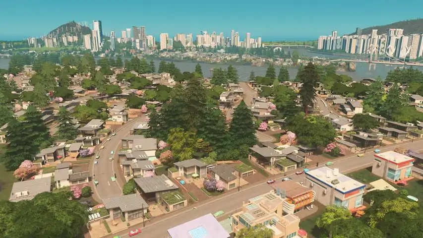
建议玩家首先不要使用模组进行游戏,就这样享受一下原汁原味的《城市:天际线》。 再玩《城市:天际线》下去有两个方向,一是市长玩法,专注于模拟城市的运营管理;二是造景玩法,不考虑游戏内容,专注于打造风景。当然也可以两者兼顾。 但在此之前,先了解一下《城市:天际线》是怎样的游戏。 最初怎样玩: 当你购买了《城市:天际线》并开始游玩时,你肯定是喜欢模拟城市类游戏的。在购买之前,或许你没考虑什么就买了,也可能先查阅了很多资料才决定购买。我就是后者。在考虑是否购买《城市:天际线》时,一定有原因。我本身是想找《模拟城市》,然后看到很多文章将《模拟城市》与《城市:天际线》进行比较。虽然两者各有支持者,但支持《城市:天际线》的人通常会说自己是从《模拟城市》转玩《城市:天际线》,或者两款游戏都有玩,并且他们总会语气肯定地表示《城市:天际线》比《模拟城市》好玩很多。 之后我在视频平台上看到了超真实的画面,就像身处日本一样,可见《城市:天际线》能呈现的画面及建筑物效果一定非常出色。
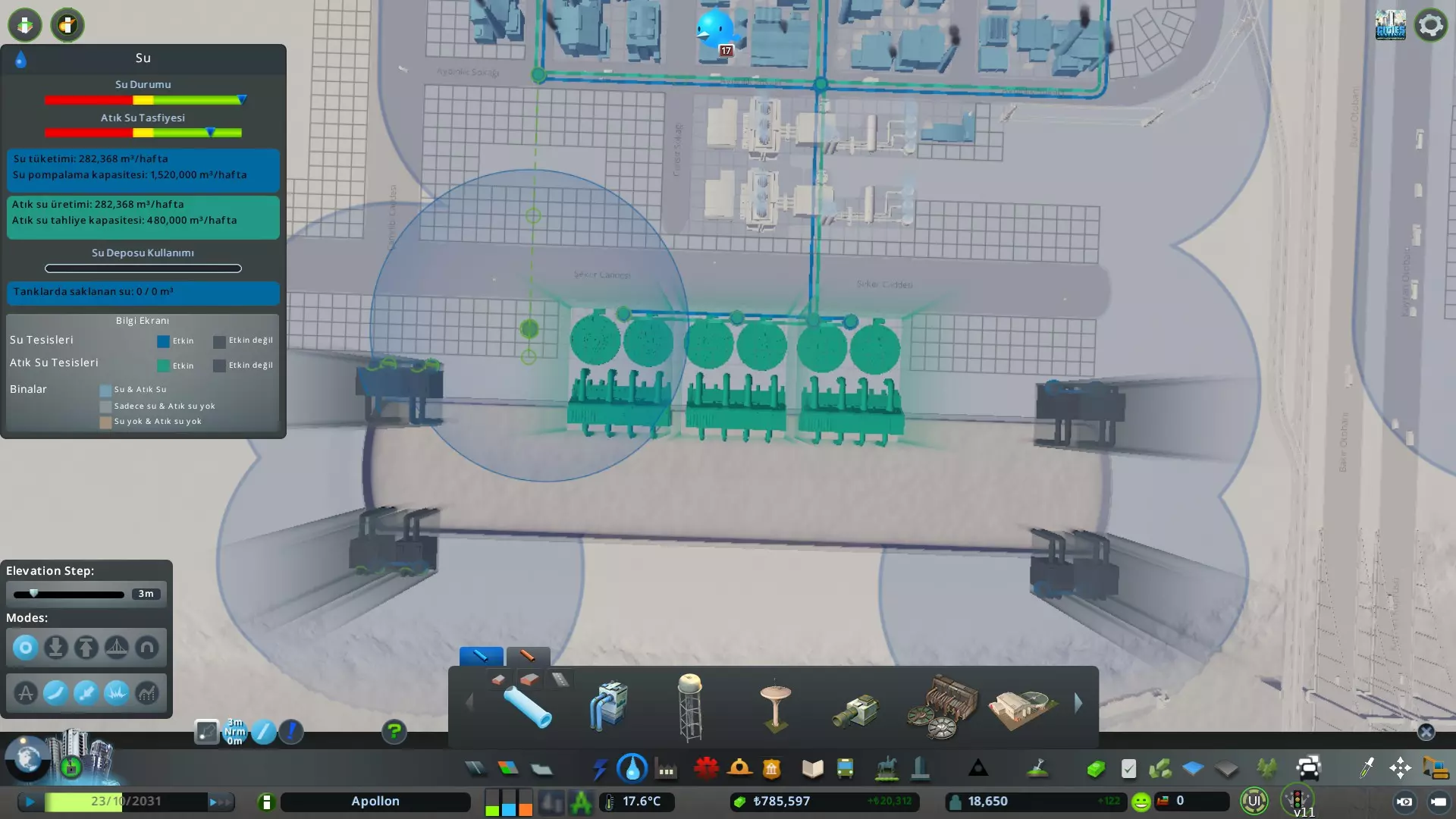
我已經在想,香港也一樣可以砌出來,之後在網料看到怎樣造 Asset 放入遊戲,這樣即是只要你能建的3D模型,都可以放到遊戲內,同時大大增加我學習造 3D模型的意慾。 Cities: Skylines 畫面真的可以很靚。當我玩了Cities: Skylines 後,現在我亦都會話, Cities: Skylines 比 Sim City 好玩很多。 在網上有很多文章嚴選 Mods,用 Mods 的確好玩,但初初玩 Cities: Skylines 不用 Mods 現更好,因為本身遊戲不太易上手,例如交通大擠塞以致一連串問題,垃圾車消不到垃圾、消防車救不到火、病人去不到醫院、殯儀車運不到屍體,又或許水源被污染令全部公民相繼病死。一般玩幾日才明白及上手,城市開始有5萬10萬人口,這時會漸漸感到很大趣味。 一些玩法是擴大規模,人口人口人口。 一些玩法是用 Mods 令遊戲中的公民更似真實生活。 亦有玩法是造景,砌城市,求好看,或將實景砌入遊戲中。 在深入地玩前,先不用考慮太多,Mods 不用裝,Assets 都不下,先直接開來玩。 水電 遊戲內建築物與很接近(約相隔10米內)的建築物是通電的,沒相連就用電欖連接。遊戲內本身沒有電壓概念,通電與不通電,那些有分電壓的電力裝置資產是為了造景或配合mod用。早期用風力發電效果很好,只有噪音,水力發電沒甚用途,永遠都令你感覺無用。 水是要一個吸海水的自來水及一個排污,潔淨水與污水用同一水管,但吸水與排污要遠些及留意水流,如果上游排污就大件事了。吸污水。 交通問題 交通絕對是這遊戲最大問題,最初玩到幾萬人口後便開始交通大擠塞,這遊戲不好好規劃交通,就必定會遇上交通問題。 出現交通擠塞,主要是兩個情況,第一個是入城位置,第二個是城內。城內擠塞問題一般來說都是通道太少,例如一個區域只有一個出入口,但須進入該區域的車非常多便會塞車。兩個情況來講入城擠塞的問題嚴重很多。 入城擠塞 首先要了解入城的車輛。如果一開始就留意車輛,會發現最初入城的車輛都是居民,假設人口不停增長,這類車都是有入無出,會有一定數量,但他們入不到城,塞一會也無妨。 之後會見到貨物車及運煤車等,因為早期通常都是用煤發電,而運煤車如果遲遲去不到發電廠,就會停電,停電會令人口不斷離開,是致命性打擊。另外隨著人口愈來愈多,民生需要物資就愈多,貨車便愈來愈多;所以貨車是入城擠塞最大原兇。 在通過入城的高速公路加一個入口,直接通去工業區,因為貨物目的地根本是工廠,所以無須經過住宅區的,直接去工業區。這樣,就不會發生入城居民與貨車爭路的問題。 到原料愈來愈多,可以用火車及碼頭作為原料入城方法。 如果有交通管理mod就肯定無問題,因為可以禁止某種車輛駛入,否則就看系統AI造化。 城內擠塞 城內擠塞都是通道問題,城內的車的活動情況是人流與物流。 人流主要都是居民代步的車,會揸車都是返工為主,亦會到商區購物,所以是住宅與工業區及商業區的往來,在沒有mod特別影響下,居民應該不需要在工業區及商業區往來。 物流是由工業區運商品到商業區,所以工業區與商業區的通道,主要負擔運商品的貨車。 由於商業區需要接近住宅才會有顧客,所以商業區須要靠近住宅。如果住宅只有居民與商品車,及一些巴士、垃圾車、殯儀車等,通常不會塞。 商區會有貨車及私家車進入,基本上車輛不多。 工業區會有居民返工的車、運原料、運商品。頗大量車必須進入工業區,首先是原料,我們必須設法讓入城的原料車直接到達工業區,另外工業區要有通道直接讓商品通到商業區。 工業區會污染,而最受污染影響的是住宅,最有效方式是將辦公室與商區放在住宅與工業區之間,所以多數情況是居民先經過商區再到達工業區。雖然工業區其中一條通道難免是居民與商品貨車共用,但貨車不用經過住宅區了。 最闊的幹道用來貫通各區,而每個區的規模都是保持十至廿座建築物左右,不要愈起愈多,否則需要進入該區的車又會愈來愈多。 如果發生擠塞情況,就在區的另一端加出入口,如果該出入口少人用,就將該區斬開,逼使居民使用。 一個訣竅,愈多車需要共用同一條路,負擔就愈大。 RCI 需求 與 RICO 系統 R是居民、C是商業、I是工業,遊戲本身RCI需求並沒有停滯不前,所以不用裝RCI需要mod,除非想永遠需求強勁。 而玩者初初見到 RICO 都莫名其妙,RICO的O是辦公室,是工業的替代,未受過教育的就上工廠,受過高,RCI的I是包含工業及辦公室,而 RICO 是指一種無視區域種類的系統,直接定義建議物性質(例如住幾多人或容納幾多人返工)及直接起,不用考慮分區類型。 教育 分為未受過教育、受過教育,受過高等教育。一開始在城市生活的、出生的都是未受過教育的人,他們是工業的主要勞動力,而且低密度商業都是要較多未受過教育的人。如果全部人口是受過高等教育,連小商店都招不到工人。 如果城市教育水準愈高,對工業愈求就愈低,市民都上寫字樓返工了。 公共交通工具 公共交通公具中,地下鐵是最理想。火車會造成噪音及市民較少選擇用火車。電車更加是比巴士更差勁。用來降低交通壓力的公共交通公具,效率最高始終是地鐵,其次是巴士。設計巴士線都是一種樂趣。 遊戲內公民可以步行到達的距離約兩公里,即25格地圖中的一格長度,可以步行很遠。不過據觀察,公民能步行兩公里返工卻不願步行兩公里購物。商店的存在都是為了方便公民購物。 市中心 這遊戲市中心是地價最高,交通最繁忙的。而市中心在哪裡呢,市中心就是計算城市所有建築物的中心地帶。隨著城市範圍愈來愈大,市中心的位置亦有所變化。 如果你沒有用mod,一開始必定是低密度住宅,然後若果你在東南西北四方八面環繞著最初的低密度住宅起出去,這些低密度住宅是市中心。始終交通方面問題都不大,畢竟是低密度。 但收入影響就大,因為收入與地價關係很大,所以最過地價的地方卻很少人住是有點浪費,應該重新規劃為高密度來增強收益。 而且這遊戲靠公園增加地價然後令收入增加是很強效率,如果是以經營玩法地玩不想用無限金錢,可以靠起公園增地價來保持良好收益。 只要注意這點,收入絕對夠用的。
《城市:天际线》解决交通拥堵问题的顶级指南 优化道路网络 道路等级: 高速公路——城市的主要交通干线,用于区域间的快速通行。 大型道路(4-6车道)——城市内的主要通行道路网络。它们的设计应能连接重要区域并确保交通畅通。 普通道路(双向两车道)适用于区域内的本地交通。 狭窄街道(单向一车道)非常适合住宅区,可限制车流量,减轻主干道的负担。 不要将小巷直接与主干道相连,应使用互通式立交实现不同道路等级间的顺畅过渡。这有助于避免主干道出现严重拥堵。 立交和环岛: 环岛是消除道路红绿灯、提高通行能力的绝佳方式。 在繁忙的交叉路口,最好使用高架和隧道等分层道路来改善交通并消除拥堵。替代路线: 建造额外道路或平行主干道,以减少车辆在同一地点的聚集。这在大型交叉路口或大型区域附近尤为重要。 确保不存在造成【瓶颈】的狭窄路段,以免限制交通流量。 公共交通: 地铁是解决交通拥堵最有效的方式,因为它不受地面道路状况的影响。公交车适合短途路线,但可能会造成交通拥堵,尤其是当路线经过主干道时。 电车速度快,但需要专用车道,因此不会造成拥堵,但需要相应的基础设施。 火车用于城际交通。 直升机和渡轮适合交通不便的区域或大型岛屿。建议:公共交通的路线应简短且方便市民,否则人们不会使用它们。 步行和自行车道 人行道和自行车道——为人们创造条件,让他们更喜欢步行或骑自行车,而不是开车。 人行天桥和隧道——它们有助于将行人与机动车交通分离,尤其是在大型十字路口。分区与规划 将工业区和住宅区分开,但要注意不要将它们放置得相距过远,以免市民花费过多时间通勤。 混合开发——将商业建筑设置在住宅区附近,能让市民在同一区域工作和生活,从而减少长途通勤的需求。避免“睡眠区域”——如果人们住在偏远地区,不得不前往市中心工作,这可能会导致严重的交通拥堵。

我正在收集所有以韩国为背景的资产。 更新记录 Ver 2.0 1. 对合集进行细分 - 按区域划分建筑、按用途划分车辆 2. 更换新的代表性图片 3. 按语言分离指南(韩语、英语、日语) 计划中 按地区分离合集 - 背景指南/地区指南(首尔市、京畿道)
韩国背景合集 包含所有韩国相关合集。 韩国道路合集 包含具有韩国背景或风格匹配的资产与道具。
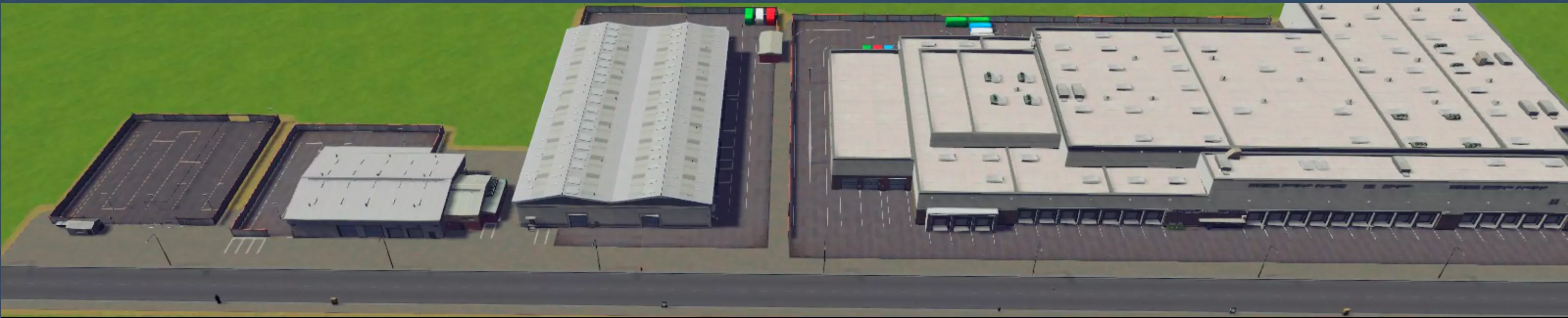
韩国住宅区┃韩式建筑住宅区 这是在韩国常见的居住形式。主要有公寓、别墅,也有低层住宅。 韩国商业区┃韩式建筑商业区 主要包含低密度和高密度建筑、大型超市、百货商场等,还包括类别模糊的地标建筑南山塔。 韩国办公区┃韩式建筑办公区 有多种楼层的办公大楼和商住两用公寓。也包含独特建筑。 韩国工业区┃韩式建筑工业区 有在韩国常见的低层夹芯板结构工业设施和大型物流中心等。计划将地标建筑单独整理成合集,传统建筑也将在后续添加。 韩国公共服务合集┃Korean Building Public Service Collection 包含韩国的市政厅、法院、邮局、消防局、警察局、医院等建筑。
韩国巴士合集 包含在韩国投入线路运营或用于高速、长途、观光等用途的车辆。 韩国铁路合集 包含韩国生产并投入使用的列车。不包含韩国生产并出口到其他国家的列车。 韩国出租车合集 包含在韩国运营的韩国产出租车。 韩国飞机合集 包含在韩国运营的航空公司飞机。其他语言查看 韩语│英语┃日语 韩国汽车合集┃Korean Car Collection 韩国乘用车┃Korean Vehicle (Passenger) 包含韩国的小型车、轿车、SUV、面包车。 韩国商用车┃Korean Vehicle (Cargo) 包含韩国生产或悬挂韩国车牌的货运卡车。 也包含1吨卡车和塔台车。 韩国紧急车辆┃Korean Vehicle (Emergency) 韩国制造或正在使用的紧急车辆。 韩国京畿道┃Korean Background, Gyeonggi-do 【京畿道】- 正在全面打造新系列。京畿道资产合集(更新中) 京畿道巴士合集 (制作中)京畿道铁路合集 (制作中)京畿道公共设施合集 (制作中)京畿道住宅合集

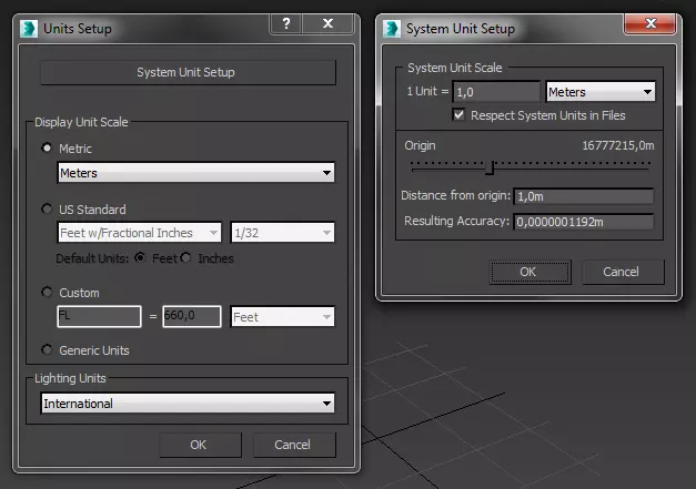



想建造一座现实世界的城市吗?在Steam创意工坊里找不到你想要的区域地图?本指南将逐步教你如何基于任何现实世界地点创建自己的游戏地图。简介
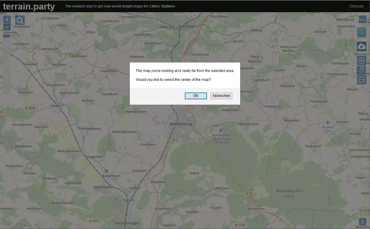
My finished map of San Francisco is available in the steam workshop at http://steamcommunity.com/sharedfiles/filedetails/?id=760867153 This guide covers some of the key points (and includes some things I learned along the way) but it's no real substitute for watching the first seven episode of Skye's series. That said... Get a starting point from Terrain Party If you'd ever like to model a real world city, the best place to start is by importing a terrain map from Terrain Party. http://terrain.party/ The default setting for Terrain party is 18 Sq KM. Keeping that dimension exactly gives a pretty fair 1:1 scale map in-game. If you'd like your map to cover more terrain, you can change that but be aware that Cities:Skylines roads are already overscaled at 1:1 and any scale that crams more territory into the same sized playing area will complicate placing roads etc a bit. Plus, you'll need to find assets of a scale that will "fit" with your city. SkyeStorm did his build of London on a 60% scale on You-tube and if you watch his videos you will see him struggle a bit with the issues that his choice of scale results in. Prepare for using Better Image Overlay Be certain if you DO import a map from here, go into readme.txt and make note of the exact numbers for Left Longitude and Right Longitude (for US maps you'll notice that the more negative the numbers, the further WEST you are) and Top Latitude Bottom Latitude. These will be essential later if you plan to use Google Maps Downloader to grab a satellite or map image to use as an overlay in helping you more accurately position Streets and Railroads, The Better Image Overlay mod is great in helping you get these features more exact. It even helps with coast-lines. http://steamcommunity.com/sharedfiles/filedetails/?id=421400880 Google Maps Downloader The Google Maps Downloader will download images at a zoom of 13 for free which is precise enough for most users. The image for an 18 Sq Km section comes in 30 segments which can be stiched together via the Map Combiner tool that is part of the program. The program can be purchased for about $35 for those wanting more precision. For further details, surf over to http://allmapsoft.com/gmd/ Skye's Building Zurich https://www.youtube.com/watch?v=XwgNnWf5-IM (which I strongly recommend viewing) uses a precision that yields 512 map segments. Once downloaded that image must be rendered into a PNG. An interlaced PNG image will work but there's really no need for it to be interlaced and I believe a non-interlaced PNG may be a bit smaller. I don't recall exactly what PNG is an acronym for, but I once heard it described as Probably Not a GIF. I use Adobe Photoshop for converting the map image but I understand that it can be done in MS Paint just as well. The image must be made a perfect square. Be aware that even though you supply perfect co-ordinates to the Google Maps Downloader, the stitched-together image you end up with is NOT a PERFECT fit for your map. However, it does include all your map's area and can be tailored into a perfect square that DOES fit your map. I suggest that you crop the stitched together Tif file into a perfect square but slightly larger than your map's borders. Convert that to your first overlay.png The Google Maps Downloader gives you a choice of the type of map to download. Both the MAP and the COMPOSITE are viable choices and both have advantages and disadvantages. I ended up downloading both and using whichever one was best for the task at hand. but be prepared, there are a few differences due to the nature of the way imagery is collected. For the Better Image Overlay tool to work, the image must be named Overlay.Png and placed in ...Steam Steamapps Common Cities_Skylines Files Finally... The Map Editor Now Launch Cities Skylines Map Editor and Create your map by importing the best height map. For me that was the MERGED one. Check the overlay image out in-game. By sizing the image to fit your in-game terrain map you can then determine just exactly how much should be trimmed away in a kind of "final fitting." Time spent getting this image as close to EXACTLY right as possible will pay for itself in-game whenever you have to adjust the overlay to perfectly align to your map. I'm NOT the OCD artist some folks are and I always end up having to make some small adjustments whenever I do detailed work on an area but knowing that my image is a perfect square, I know that it's basically correct if I just expand the overlay to fill out to the last square at the map edge. Once you're relatively certain that your overlay is as close to perfectly fitted to your map as possible it's on to Terrain adjustments... Water features Generally the first thing is to dig out any water features that were missed by the satelite data. This can be small ponds, aeration basins, and even some canals will need work. Roads will resist all subsequent attempts at terrain building so may be used to help define straight coast-lines. Laying a road, contouring near it, then deleting the road and making any fine adjustments will often be faster than simply trying to get it right using the terrain tools alone. Just Add Water Once your water features are carved out. It's time to place water sources. It's generally important that your starting square at least has some access to water so that sewage may be disposed of. Fresh water for intake is good as well. Since its important that water intake NOT be polluted you may wish to ensure that its possible in your map to place a water intake upstream from any sewage outlets you allow for. Since my San Francisco Bay map had water all the way to the edges in several directions and I wanted a strong outflow from the bay to the ocean as in real life. I took liberties with the terrain and added a tiny strip of land all the way around my map borders so as to "enclose" the bay that way any water sources I placed in it would flow through the Golden Gate channel toward the ocean. Since the strip was as tiny as I could make it and just a bit above sea level it's almost unnoticeable unless one goes looking for it. When placing water sources first choose the capacity of the water source and then place it. After that you must set the area that it will flood by adjusting the height of the water column. While that is estimated as a white cloud on the map, any sources that are reasonably far from land will not flood as much as they think. This means they can be set higher than those close to shorelines that you care about. Be sure and let time run in the map editor so that you can see how the water will settle down over time and don't be too alarmed at any initial flooding. Smoothing the Ground The terrain maps imported via terrain party are not perfect for use in -game. Some smoothing is required to eliminate the most jagged terrain and to make the majority of the playable area buildable. The area outside the 25 center square may be left a bit rougher but with the advent of the 81 square unlocking mod you may want even those to be buildable. Two watchwords for terrain smoothing: Go Easy it's better to have to smooth an area repeatedly than to obliterate legitimate terrain features that should really be retained. Also remember that CTRL Z will undo the last terrain change. Highway Feeders It's generally important that every map have a highway feeder so that commercial business and industry can import inputs and industry can export their outputs. I generally use the Better Image Overlay to help me get highways placed approximately right and then go back without the overlay on and redo any sections with jagged curves or weird height anomalies. Once this is as close as I can get it. I look for major road connections that must pass under my freeways and lay in temporary roads so as to check that I've left room for underpasses. Generally 12 Meters is a good height for these. Sometimes it will be necessary to bulldoze a few highway segments, place a temporary underpass road and then re-lay the highway so as to make allowances for the highway pillars. Just be sure to go back and bulldoze the temporary roads when you're done. This is mostly for aesthetics as any roads laid in the map builder can be bulldozed by the player (with NO refunds) as soon as they start playing a map. Railway Feeders If its appropriate for your map, next lay the railway feeders just as you did the the highways. Given Cities:Skylines objection to surface level railroad crossings I put several sections of my railway feeders underground to simplify their routing and to keep them out of the player's way. The Map Editor Tunnels Enabler made that easy http://steamcommunity.com/sharedfiles/filedetails/?id=645390478 Ship and Air Feeders Ship and air feeders are the last feeders to rough in as they are much more general and its only required that you get them "close enough" to where airports and harbors can connect to them. Be sure to make the air feeders connect from the outside edge of the map at one end only. Air feeders that connect at two locations outside the map will NOT result in any air traffic for your airports. Not sure but I'm guessing that it works similarly with ships. Got Wood? Add TreesThere are a number of standard tree types that are native to the climatic region you selected when you started the map. Be sure and add a good sprinkling of the various types so as to make your map look natural and with some areas more densley forested if you intend to make forest industry possible. If you elect to use custom tree types be sure to add a link in your finished map so that that asset is downloaded by anyone looking to play your map. Other Resources? Use the associated tools to add Oil, Ore and Fertile land areas as appropriate for your map. Finishing Touches Designate your starting square and take a snapshot to go along with the map you save. Maps that you create are stored (on windows machines) in C: Users userid AppData Local Colossal Order Cities_Skylines Maps under the name you choose Play-tested? Before sharing any maps you make on the Steam workshop, try playing it yourself make sure that everything works the way that you intended. Share it in the Steam Workshop When you ARE ready to share your map, be sure and write up a description beforehand as the text area in the Steam Share window will hold lots of text but is not formatted very well. To make your map more appealing to others you might wish to take a number of screenshots and include those as additional images. Closing Comments I hope that this guide has been helpful. I appreciate and welcome any comments, critiques and suggestions. This is only one method of creating a realworld map in Cities:Skylines. For an alternate approach check out this guy's you-tube presentation https://www.youtube.com/watch?v=CWwJSmzPJOo
Cities: Skylines游戏社区信息不够给力?
没找到心仪的Cities: Skylines游戏攻略/资讯/活动信息?